SWIMMING IN SITKA
Congratulations on your decision to come to Sitka and swim in the Change Your Latitude event to benefit the Baranof Barracuda Swim Club!
To get the most out of your visit to our beautiful town, we strongly suggest you arrive several days early and stay a few days after the main event. There is so much to see and do both indoors and of course outdoors 🗻🏊🏾!
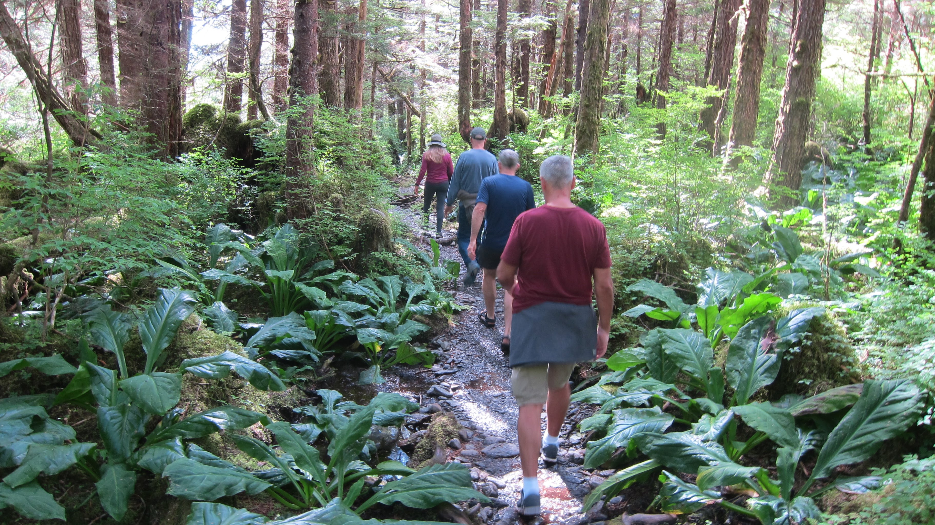
Hiking in the rain is the next best thing to taking the plunge and stroking away in the bay. So bring good footwear and rain gear to take advantage of the awesome Sitka trails.
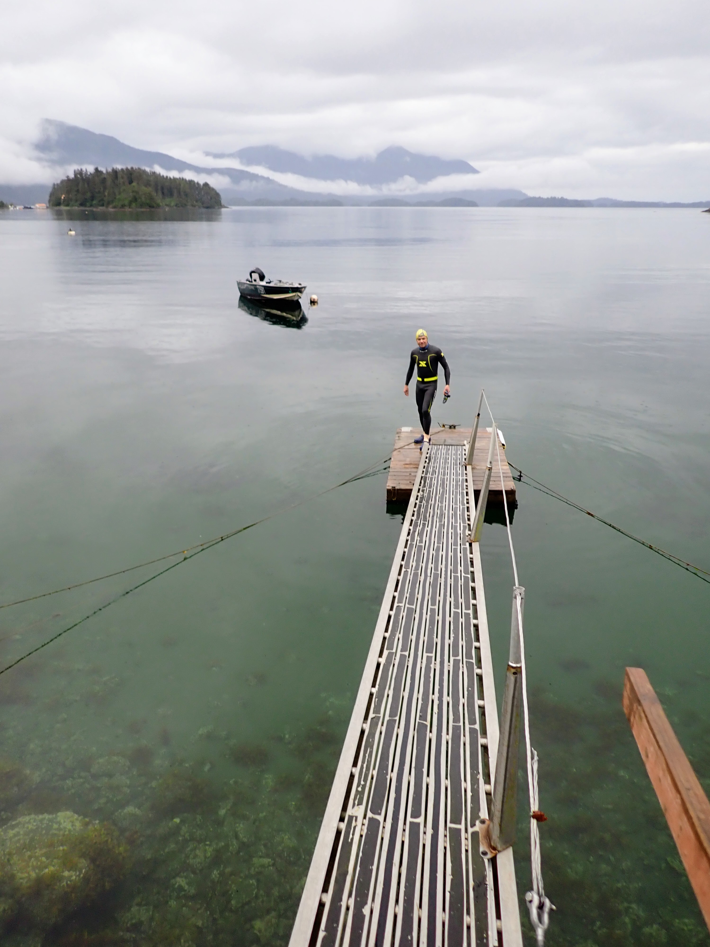
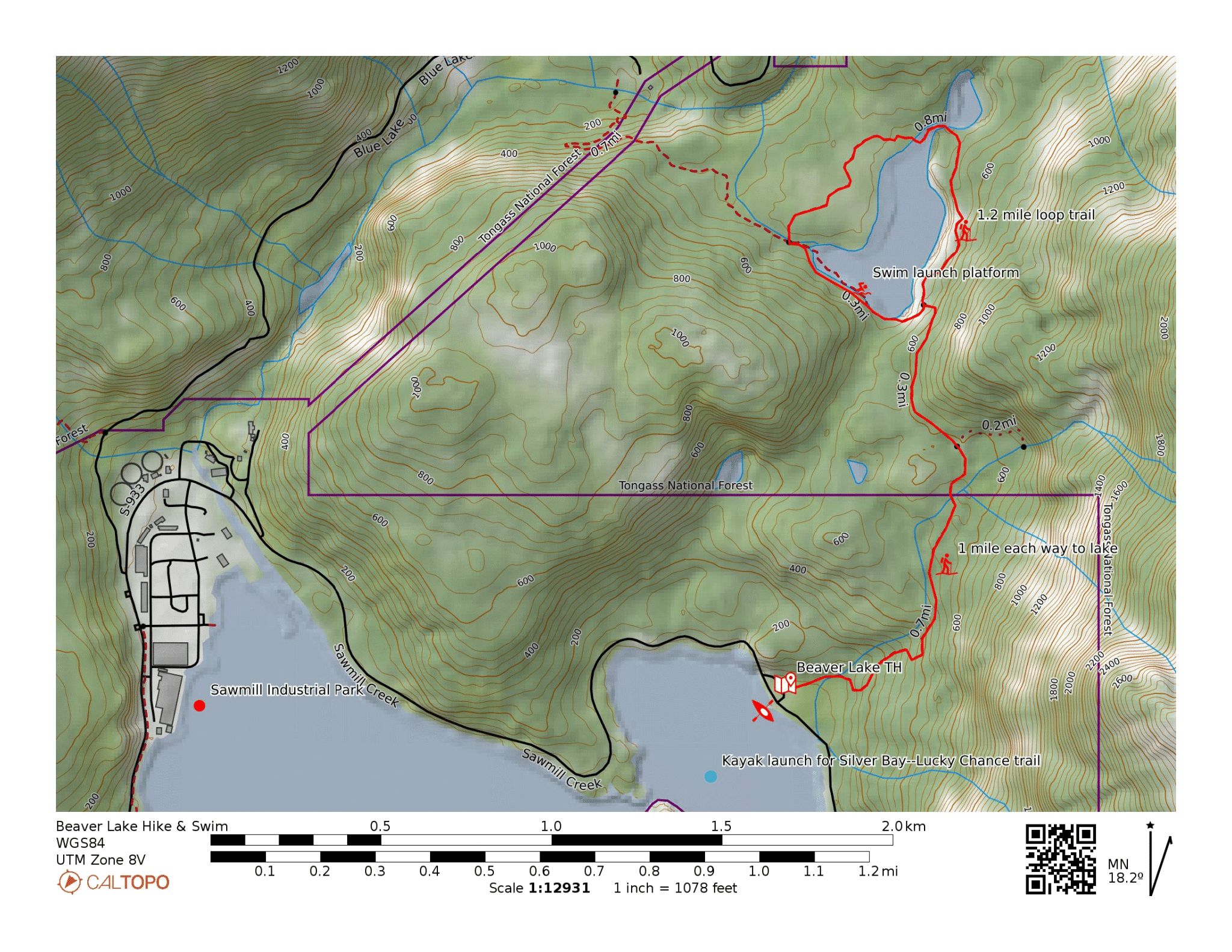
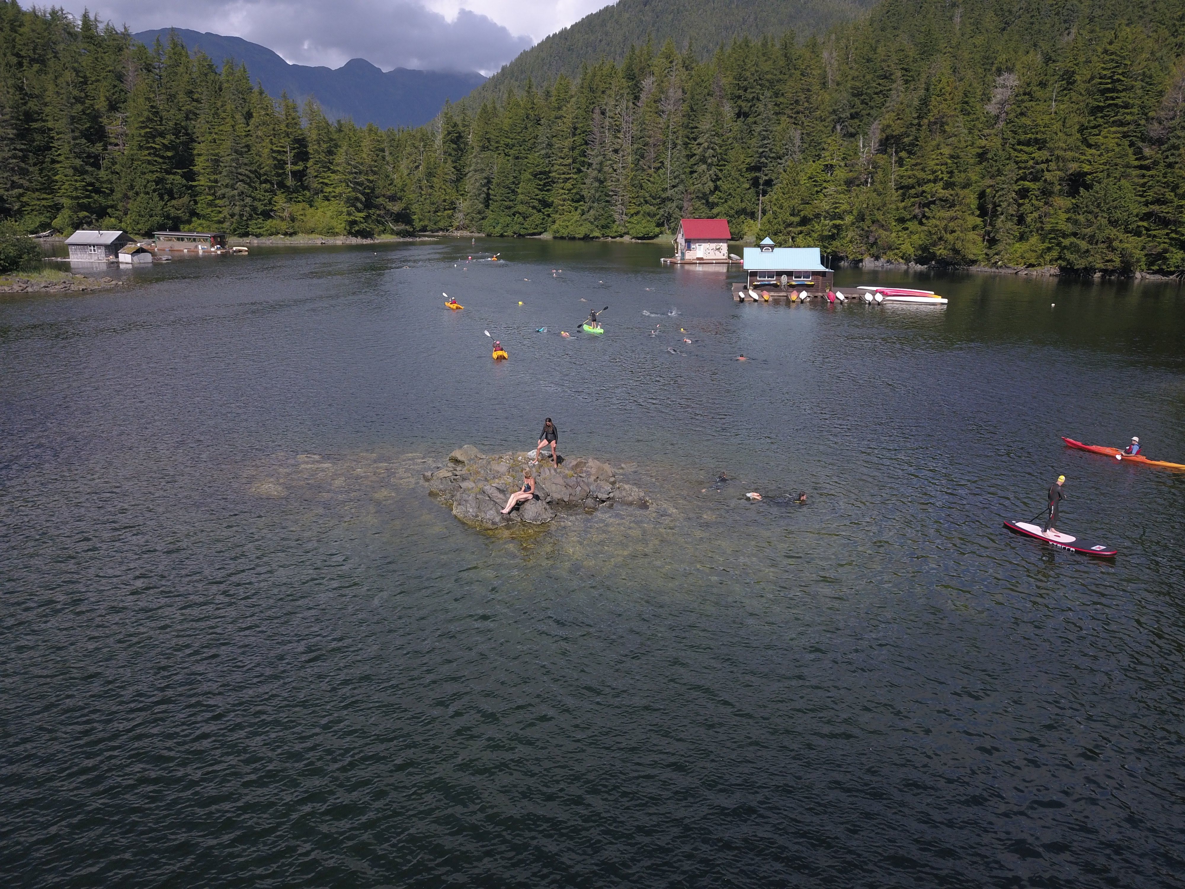
Be sure to locate Beaver Lake trail and take what you need for a cool lake swim.
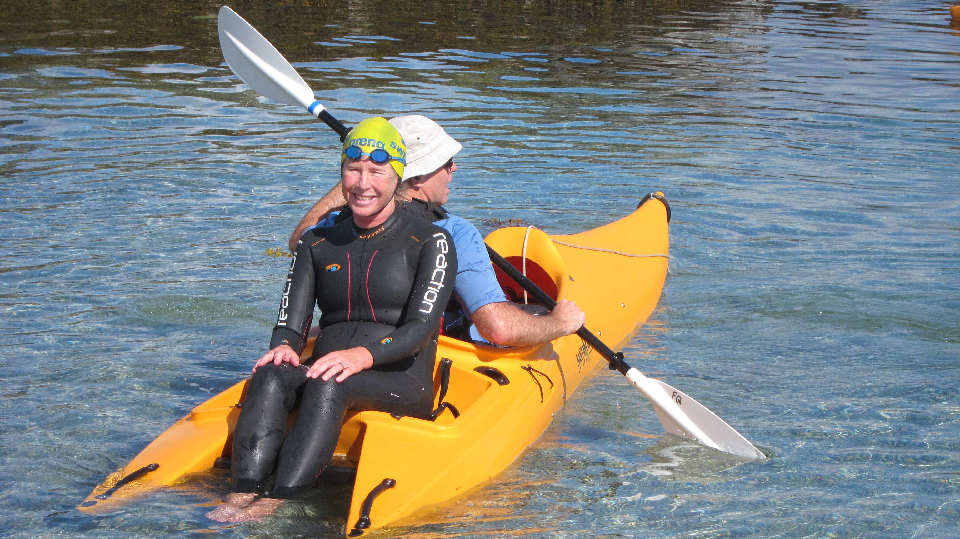
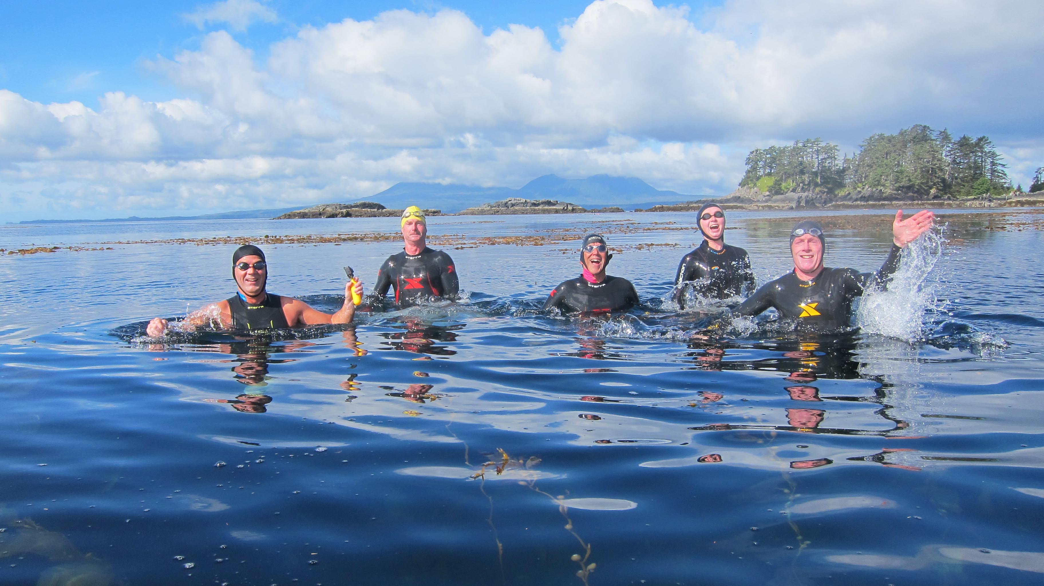
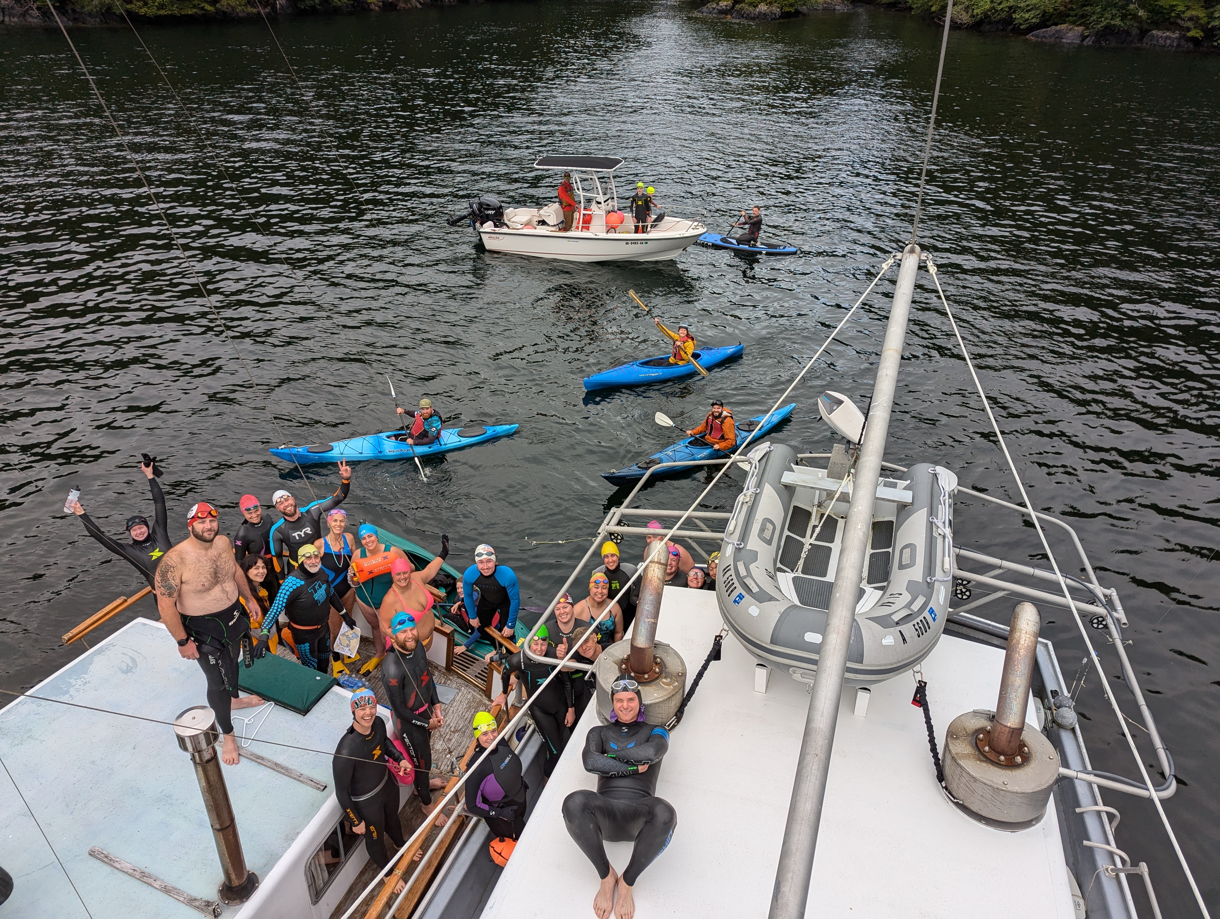
The wildly popular adventure swims (clink link for more details) are are planned on several different days before the event. Please be prepared to sign liability waivers and follow safety protocols as specified by each boat captain.
To reserve a seat on either of the boat-launch adventure swims (CURRENTLY AT CAPACITY) on the 4th and/or 5th, please RSVP to CYL57North@gmail.com and indicate how many additional guests you would like to put on our guest waitlist.
Boat-launch swims are subject to limited availability and weather conditions. Land-launch adventure swims on the 6th and 7th, do not need reservations–but you may need to arrange your own transportation.
FOR YOUR INFORMATION
We want to provide you with some local knowledge and tips for self-guided adventure swims you can access from city roads.
- All ocean swimming is potentially hazardous—please thoughtfully assess personal risk and don’t enroll in the Darwin award lottery.
- Know your capabilities and distance capacity in cold water. (Aren’t wet suits wonderful!)
- Swim with buddies as much as possible.
- Use a high visibility buoy and cap when in boat traffic areas (which is most of Sitka).
- Sitka has a 15′ tidal range and walking barefoot through the low tide barnacles is admirable but not an accepted religious ritual. And, the tide can change as much as 2.5′ in just one hour!
- Use tidal app/book so you know if tide is rising or falling and if you have enough water to get through certain passages—more on that later.
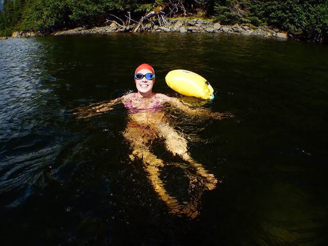
- Bring slip-on floating water shoes, a 7′ length of 1/8” line and a small weight (additional high visibility float optional).
- Route maps show the minimum tide needed to get through some very worthwhile single track “lanes”.
- Set your float/line/weight and tied off water shoes at a depth in the water to ensure it won’t float away if tide is rising, or be high and dry upon your return (remember the barnacles).
- Generally best to target your swim as early as possible (plenty of light at 5:30 a.m.!) both to enjoy the rising sun over the mountains and revel in the morning glass before wind and waves disrupt your otherwise zen-like experience.
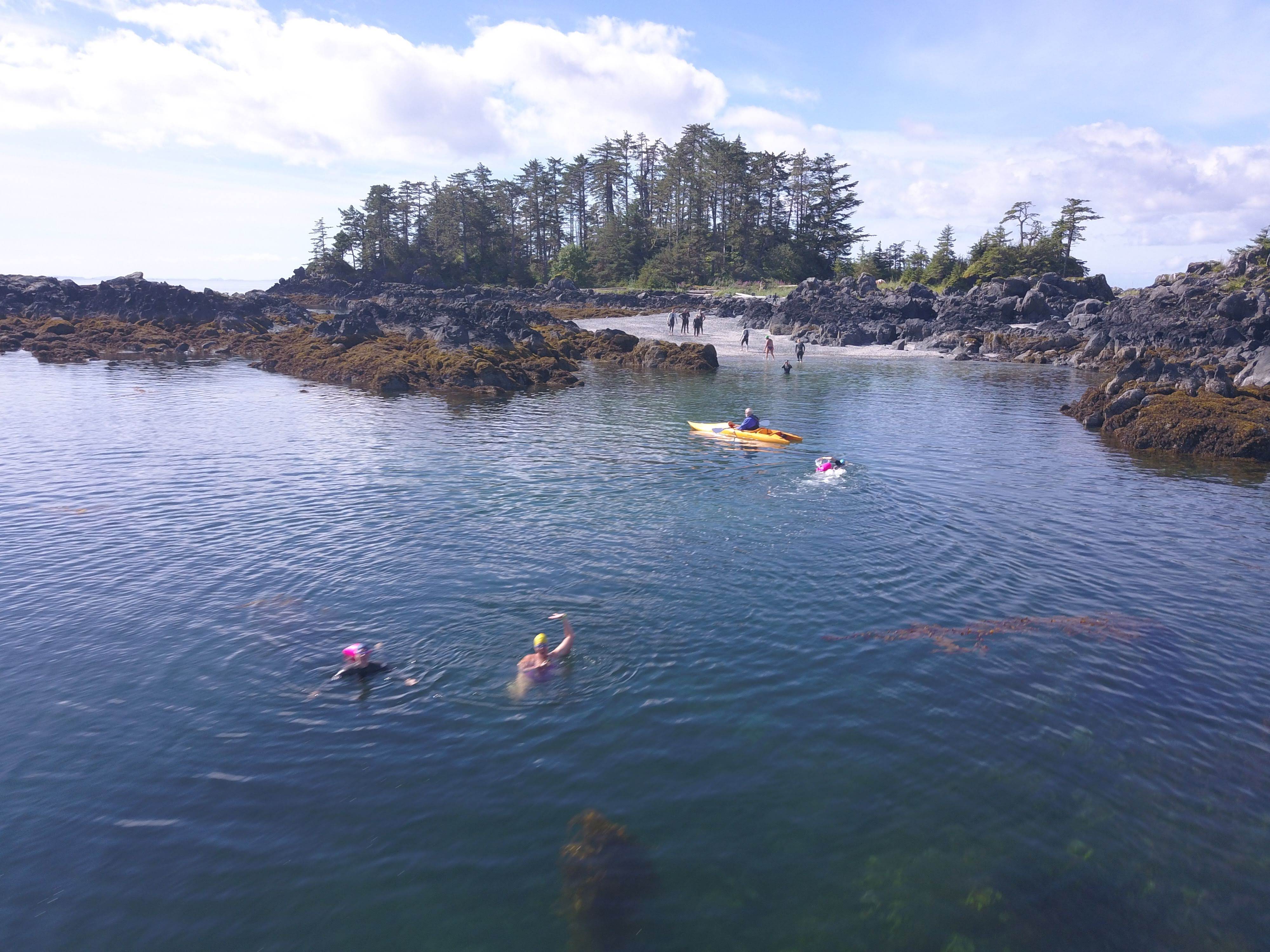
LAND LAUNCH SWIM OPTIONS
NORTH OPTIONS
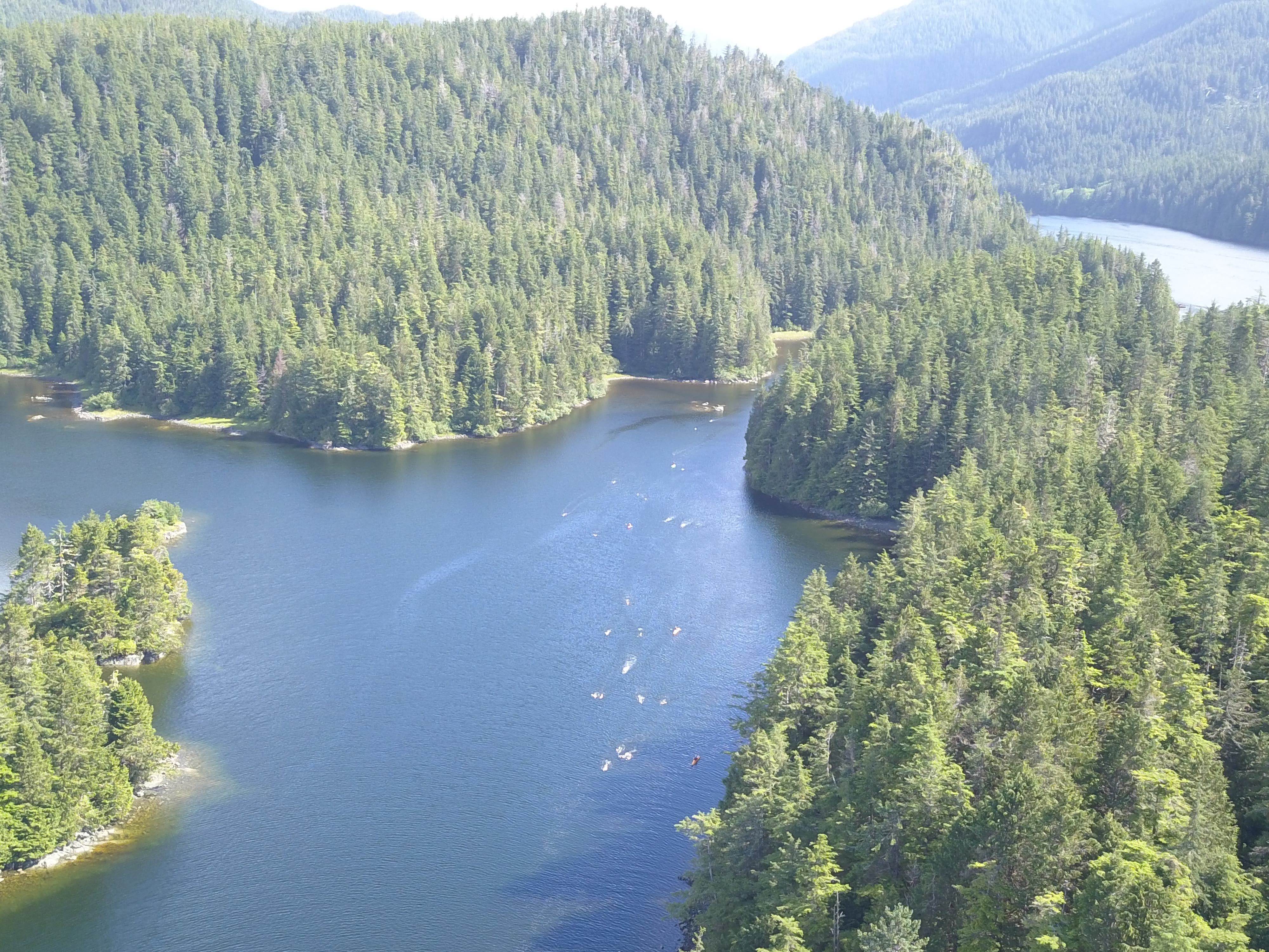
We have some fabulous land-launch swim options both north and south of town. See course maps land launched swims north. North swims have more exposure to ocean swells and current from northern bays and passages. But when calm, it is awesome!
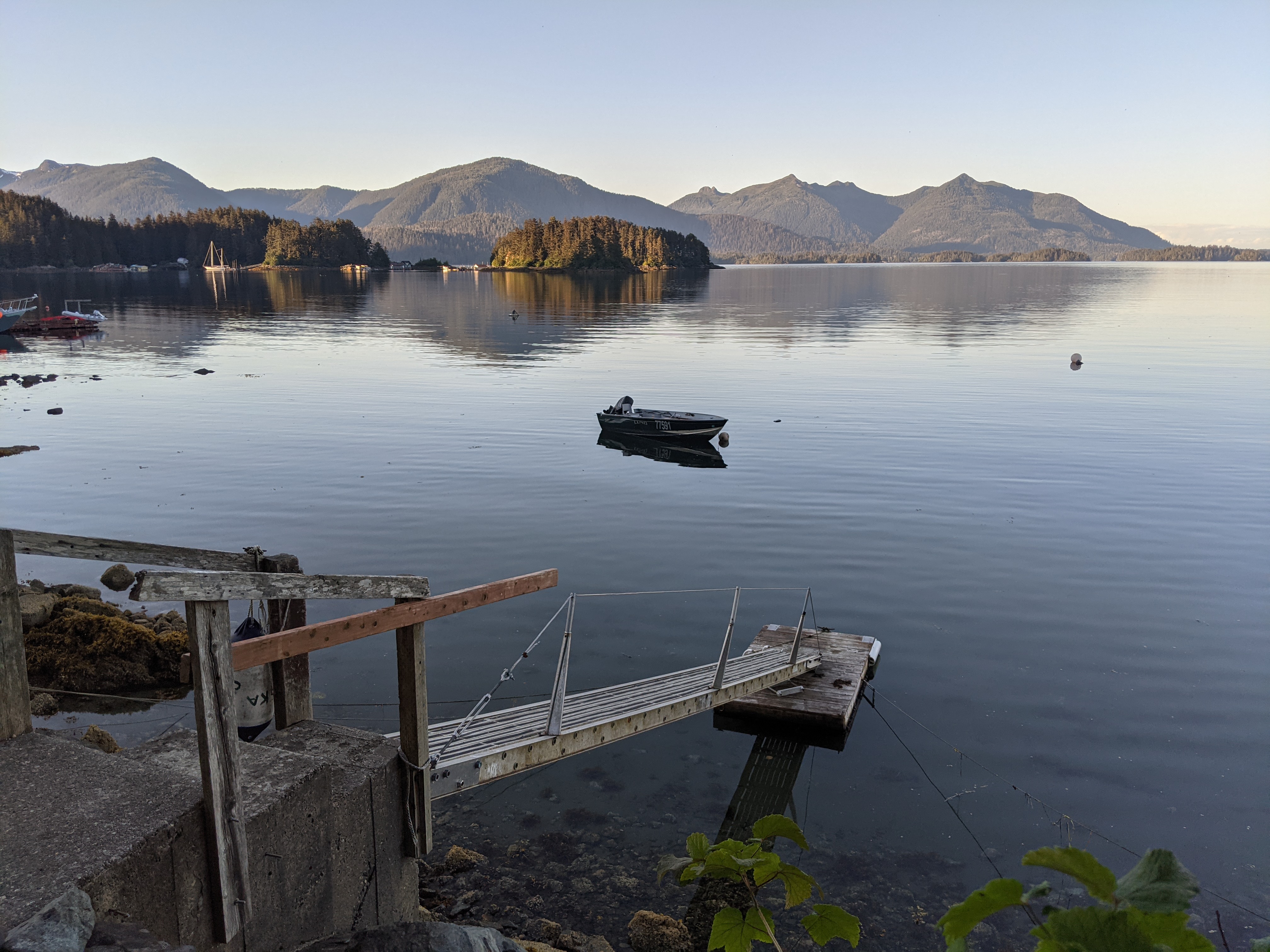
Heading north along Halibut Point Road is Magic Island, Far North Shelter and Shack Island put-ins. Room for a couple of vehicles along road at each location. See photos: parking at magic island, trail to magic island, trail to far north shelter, parking at pullout at shack island, stairway to shack island put in.
Be aware that you need a 6′ tide and average size belly to swim between beach and Magic Island. But easy to swim around the island and head north along the shallows of Halibut Pt. “Rec” picnic park, or paddle south along the shoreline.
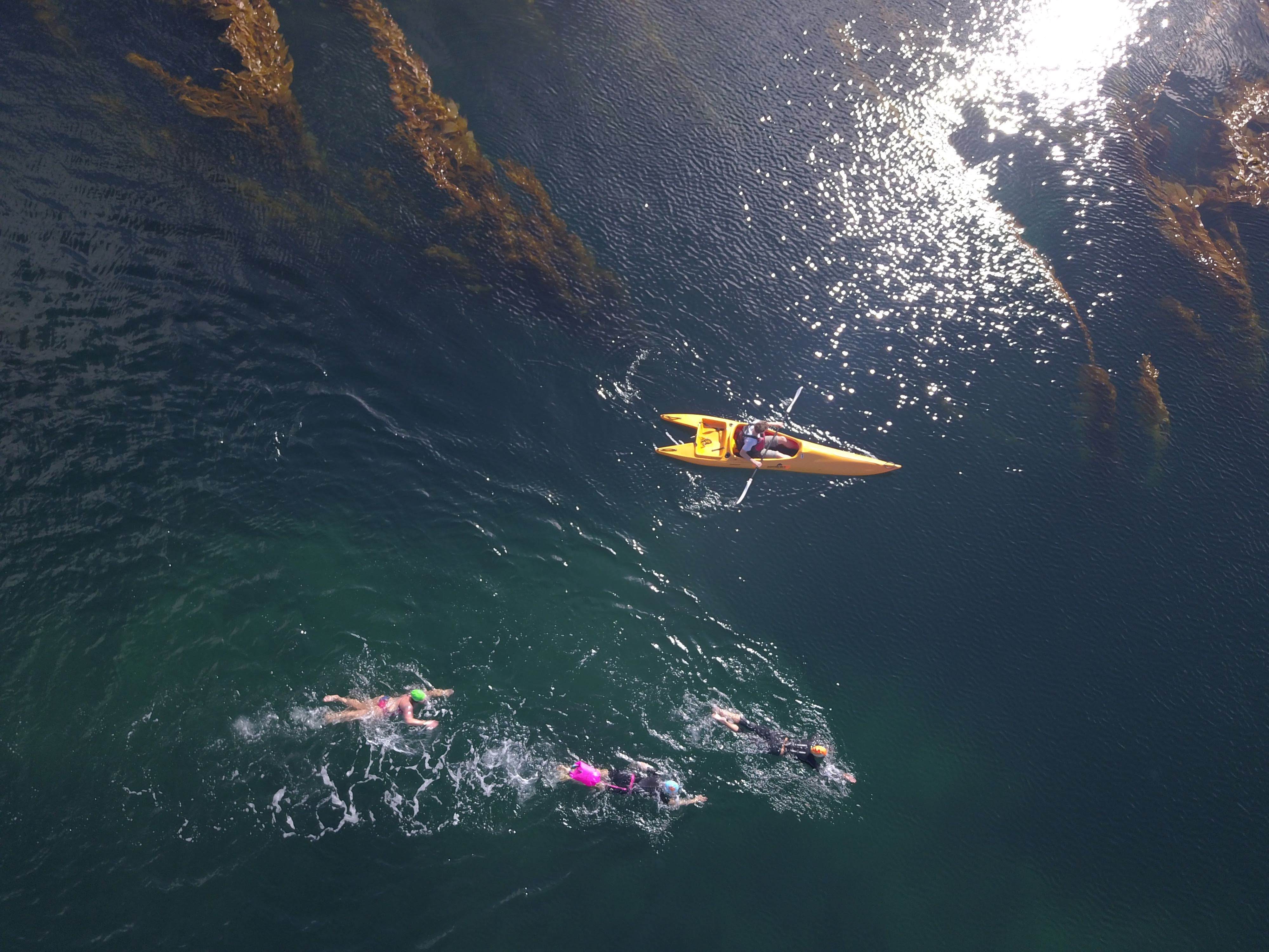
About ¼ mile further along Halibut Point Road is Far North Shelter put in—a new favorite. Fabulous round rock upper beach, then nice stretch of sand, then very thick eel grass at low water. Great put-in for kayak escorts and close to deep kelp forest around the point.
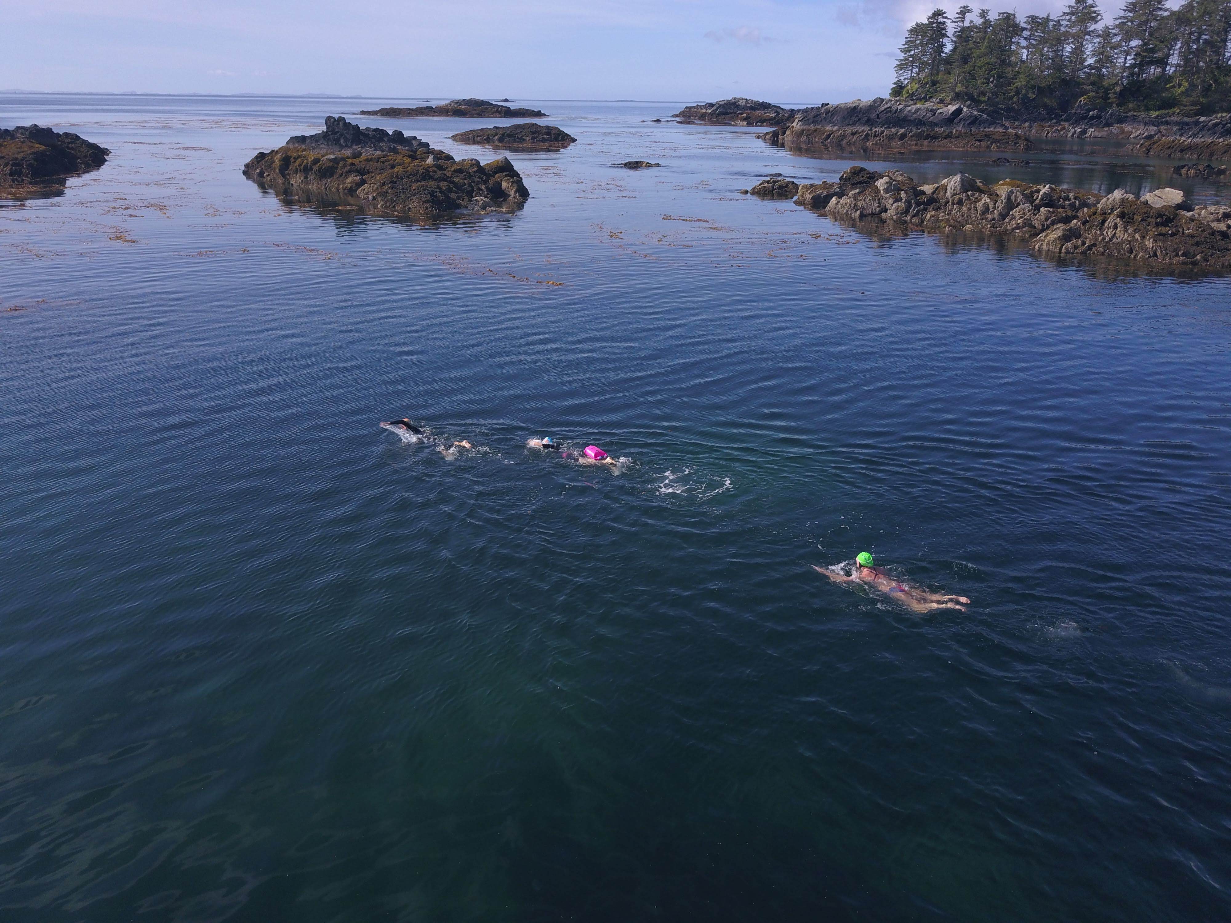
Another ¼ mile or so north is Shack Island launch point at Old Sitka Rocks. Park on water side pull out and walk about 30 yards south along rail to gap in the brush with stairs going down to rocky shoreline. If you swim further west than the nearest island (old shack still standing) be extremely aware that you are crossing a regular-use fast-boat traffic channel. Tow a bright buoy, swim with buddies, bilateral breath and stay alert. Your reward is a super swim navigating round and over multiple wildlife abundant rocks and islands then out to the last rock with a prominent nav-aid marker. A bald eagle critiqued my racing turn around the rock from his perch on top of the marker while a flock of long beakpipers danced around by water’s edge. Hard to stay focused on your training when there are so many marine-life distractions above and below. The water has been unusually clear and calm at this time of year.
SOUTH OPTIONS
South of town on Sawmill Creek Road, about 1.5 miles past Totem Park, is Jamestown Bay. Not quite the water clarity or marine life abundance as Northern routes, but oh, so convenient and wind/wave protected. Mark Gillory at 1612 Sawmill Creek Road has generously offered access to his ramp and floating dock for hands down the best launch point in the bay. Park directly across from his house at Verstovia Trailhead. After your swim, maybe a rigorous hike up Verstovia? Anyway, Gillory’s driveway and ramp toward watery way points is self-evident. See photos: Verstovia trailhead parking , Gillory’s driveway, Gillory’s gangway. You won’t need your shoe anchor at Gillory‘s. Too many passageways, islands and rocks to provide proper descriptions in limited space. Consult map (Guillory Jamestown Bay)
Be aware that the big loop around and outside (3,600 M) requires about a 3 foot tide minimum to make it through south passage. Center passage between Guertin and Ring Islands is shallow, but most of you will be able to slither through there at a 1′ tide or so. Yes, I suppose you could emerge from the primordial soup and walk, but why? Jamestown has some light boat traffic, but the locals have done a good job swimming the bay regularly and in so doing, training the captains to be especially vigilant for unusual waterborne creatures. Be smart—tow a bright buoy and you’ll be brilliant, and buff.
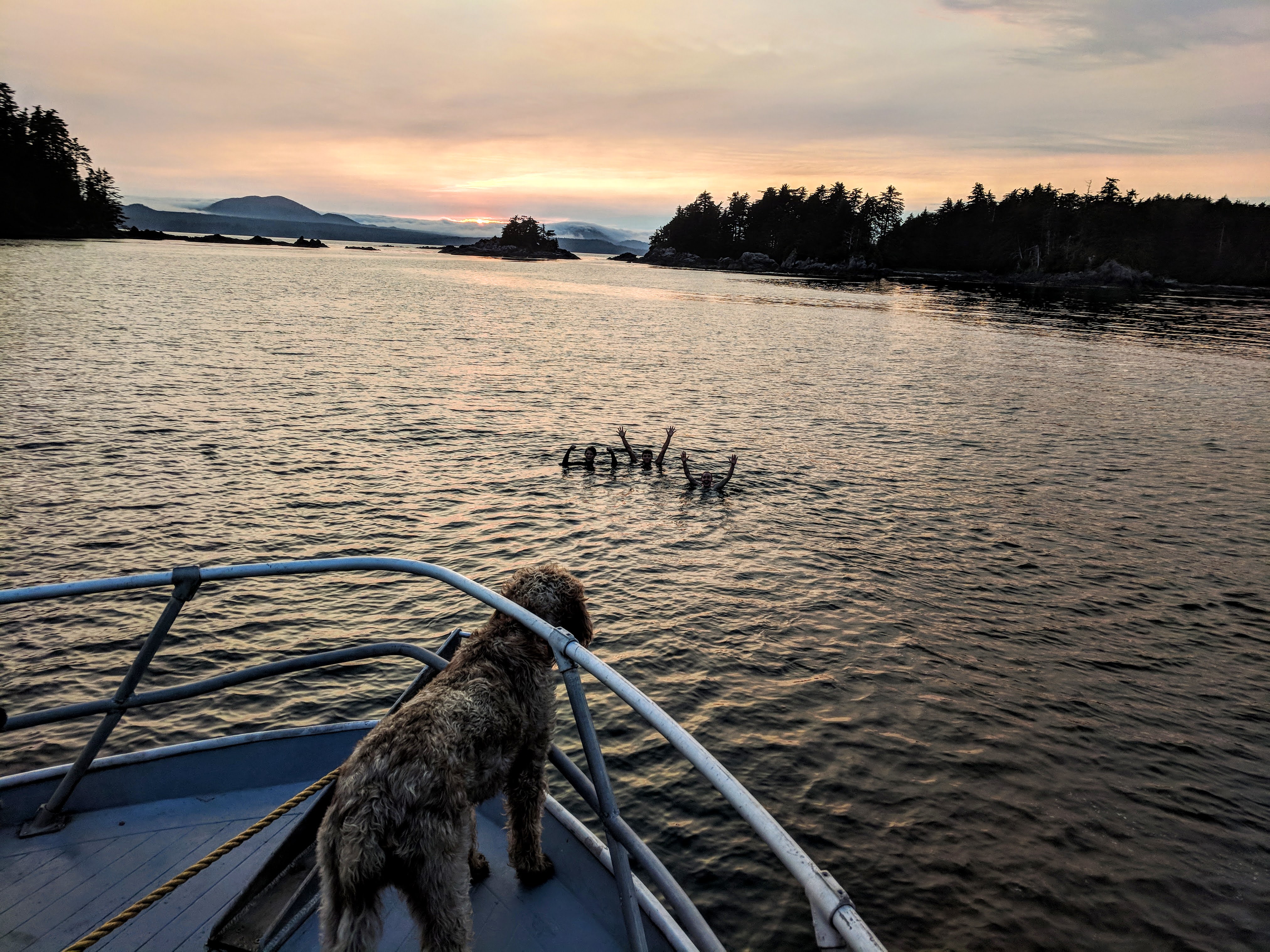
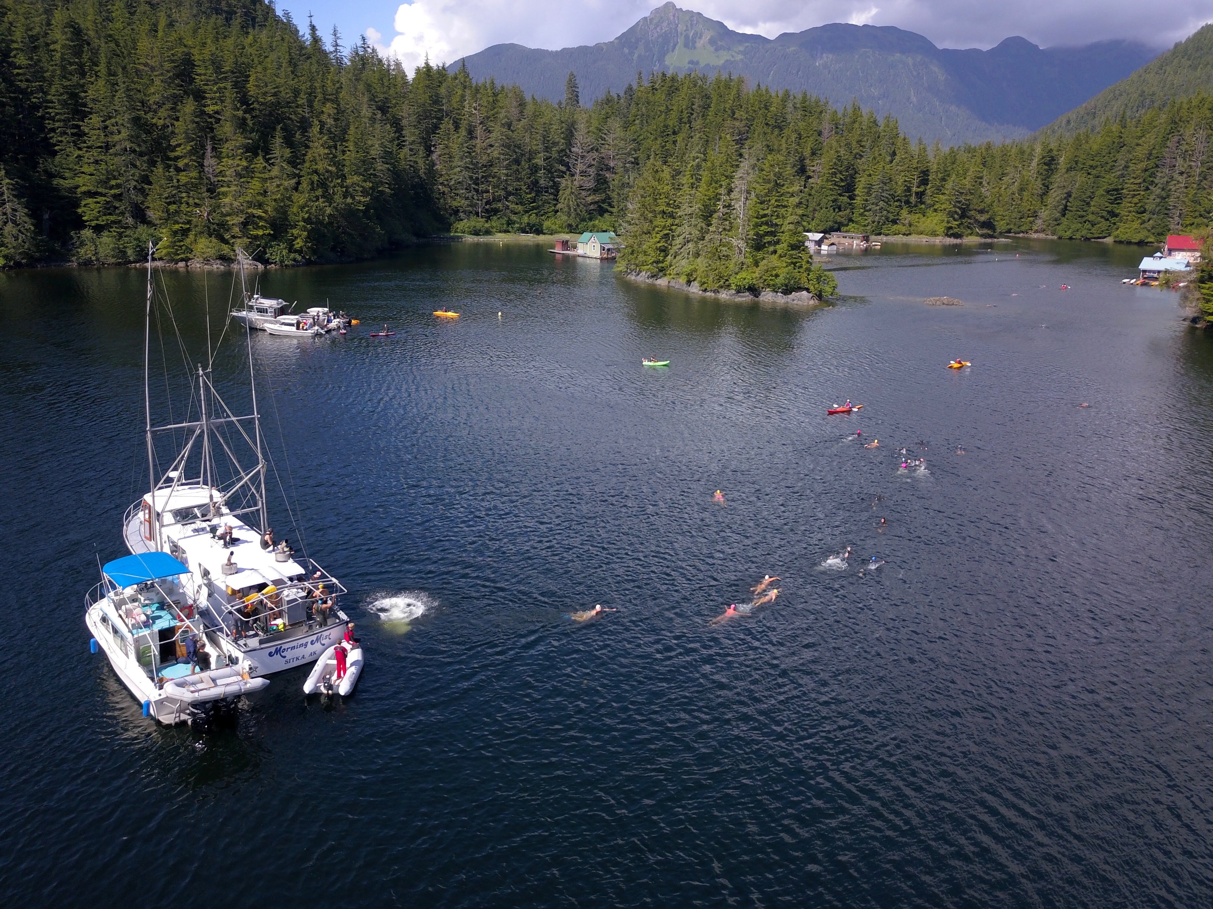
ADVENTURE SWIMS
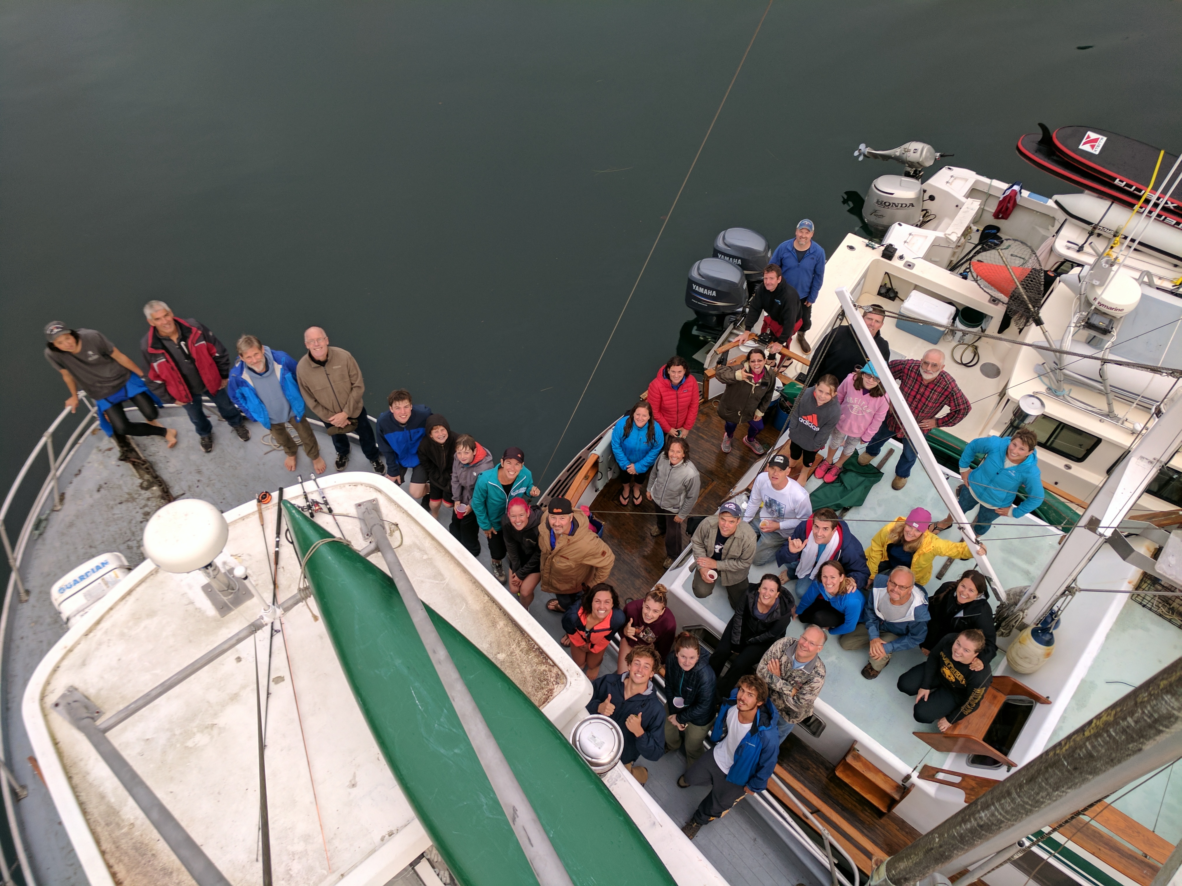
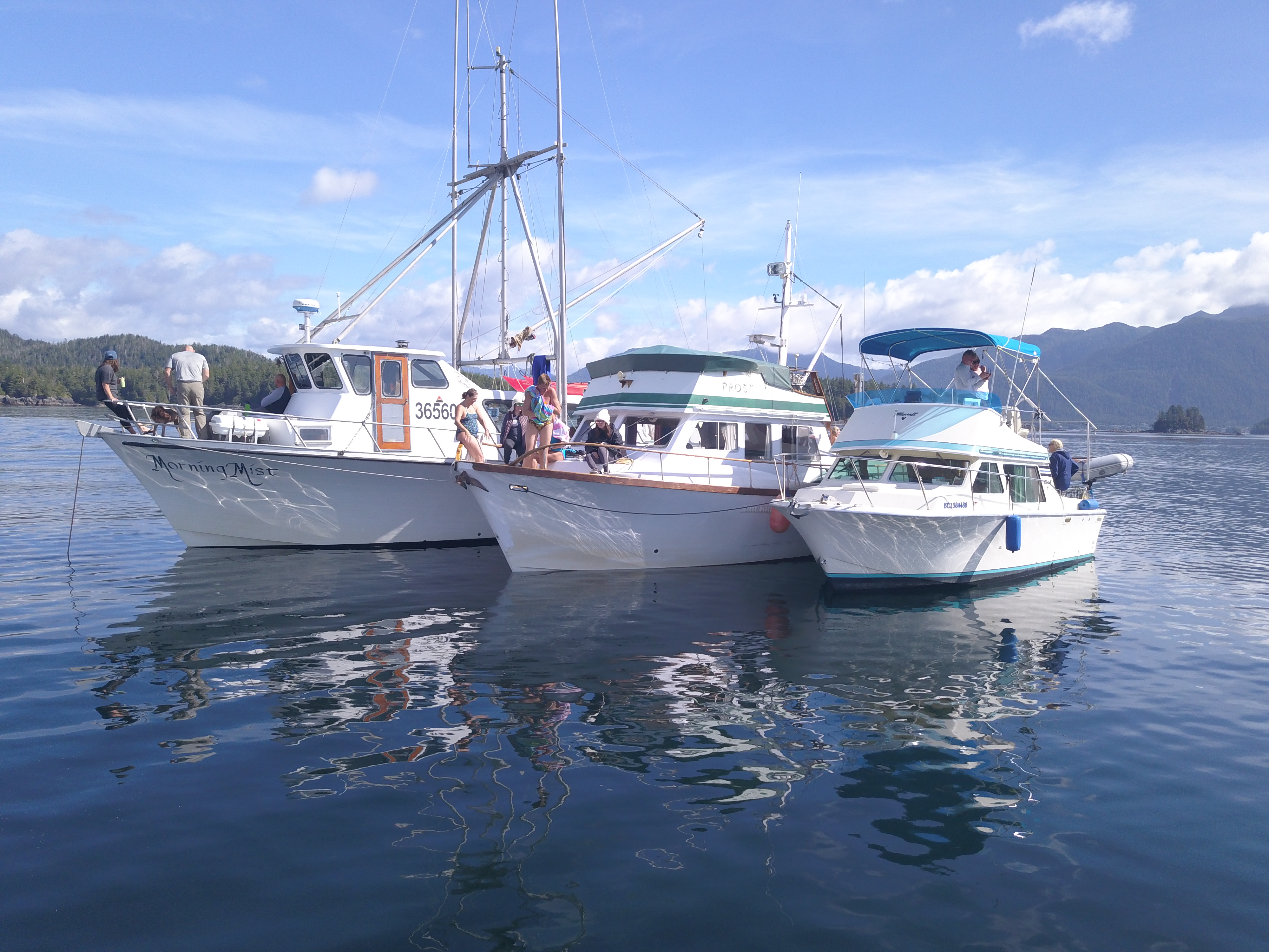
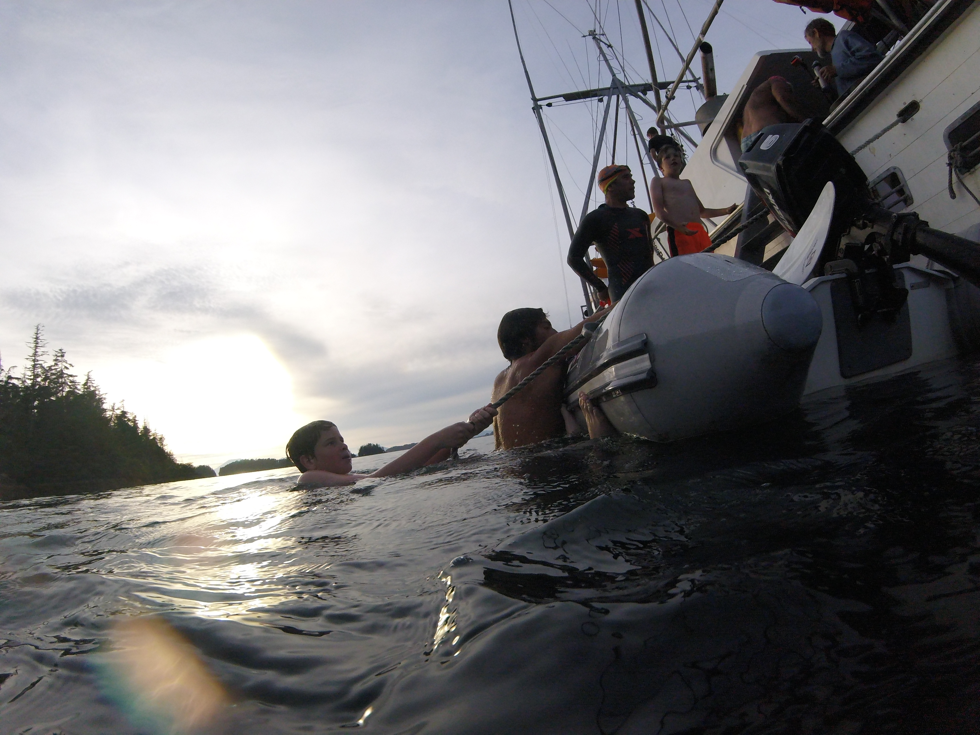
Over the past few years, local open water swimmers have been kind enough to take Change Your Latitude participants on open water swims that are only accessible by boat (CURRENTLY AT CAPACITY). These boat based adventure swims are planned the Tuesday and Wednesday before the race. These swims depart from Fisherman’s Quay 465 Katlian St. at 5:00 p.m. Space on the boats is limited. Change Your Latitude participants will get emails with more details and instructions on how to sign-up. A donation to the Baranof Barracudas Swim Club is requested to participate in these swims.
The location of each boat based adventure swim is determined by the tides and the weather at the time of the swim. It is always possible that the weather will be too rough to take the boats out of harbor. See course maps: Excursion swim south islands, Excursion swim north islands & Chaichei Island.
Speaking of sea creatures, we do have sea lions, especially around the streams with spawning fish such as at the Science Center/CYL race course start and Indian River at the far buoy turn-around. Sea lions are really curious and don’t have a good sense of personal space, which can be discomforting. But having swum overly close with them countless times, they have never been aggressive or threatening. And, we’ve never heard of a swimmer being injured by a sea lion. Keep swimming along and they soon realize you are on a mission and don’t want to play.
Lot’s of moon jellies around Sitka Sound. Thank goodness moon jellies don’t sting as they will congregate in swarms so thick you think you are seeing bottom. Undoubtedly you will swim over and above white or reddish-orange jellyfish with long stinger stringers. Fortunately, these buggers rarely hang out at the surface.
SITKA TRAIL WORKS SEA LION COVE (AUG 9)
Sitka Trail Works (STW) is organizing a spectacular group outing to Sea Lion Cove on Sunday August 9 (day after main CYL event) via Allen Marine Lines Catamaran.
Cost is $165 pp. Highly recommended!
Be prepared for bear encounters, body surfing on the beach and luke-warm leach-free lake swim along the way.
Link to images and route maps.
Link to registration site. (Be sure to click on the See More button (below events) to get to the Sea Lion Cove booking site)
Schedule your flight accordingly since only 34 tickets are being sold by STW!
Details:
- Check-in starts at 7:30 a.m.
- Depart Crescent Harbor 8:00 a.m. sharp
- Depart Kalinin Bay at 6:30 p.m.
(The boat trip is approximately 90 minutes each way.) - Hike is 5 miles round-trip, moderate difficulty involving some steep sections and rough footing.
- Trip is designed to allow ample time to relax or explore the beach at the cove.
- Trail description at: https://www.sitkatrailworks.org/sea-lion-cove-trail/
- You are responsible for packing your own food, water, and essentials for the 12 hour trip.